Overview
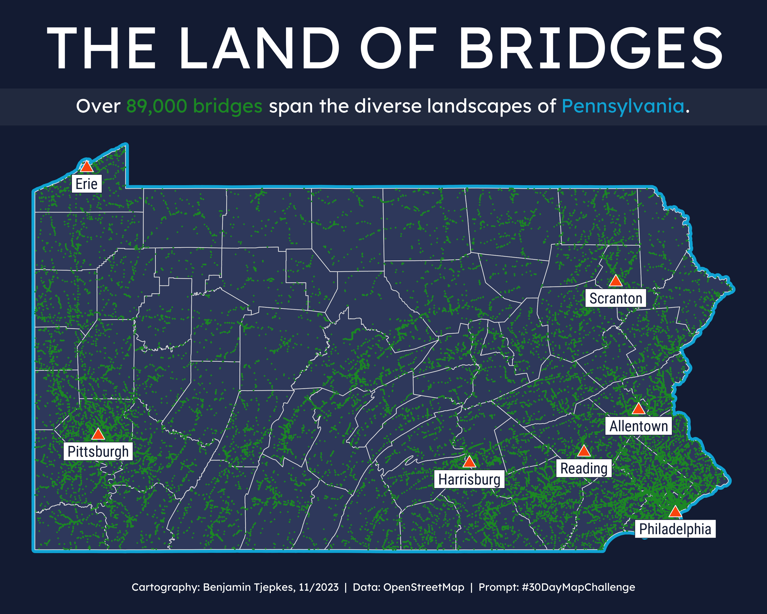
This map was created for Day 15 of the 2023 30 Day Map Challenge, which designated “Open Street Map” for the main subject. Map creation was performed in R/Studio using theggplot package. OpenStreeMap data for both bridges and largest cities were accessed via the osmdata package. The resulting map shows locations (points in green) of all bridges in PA based on the OpenStreetMap database.
Final Result