Tools & Methods
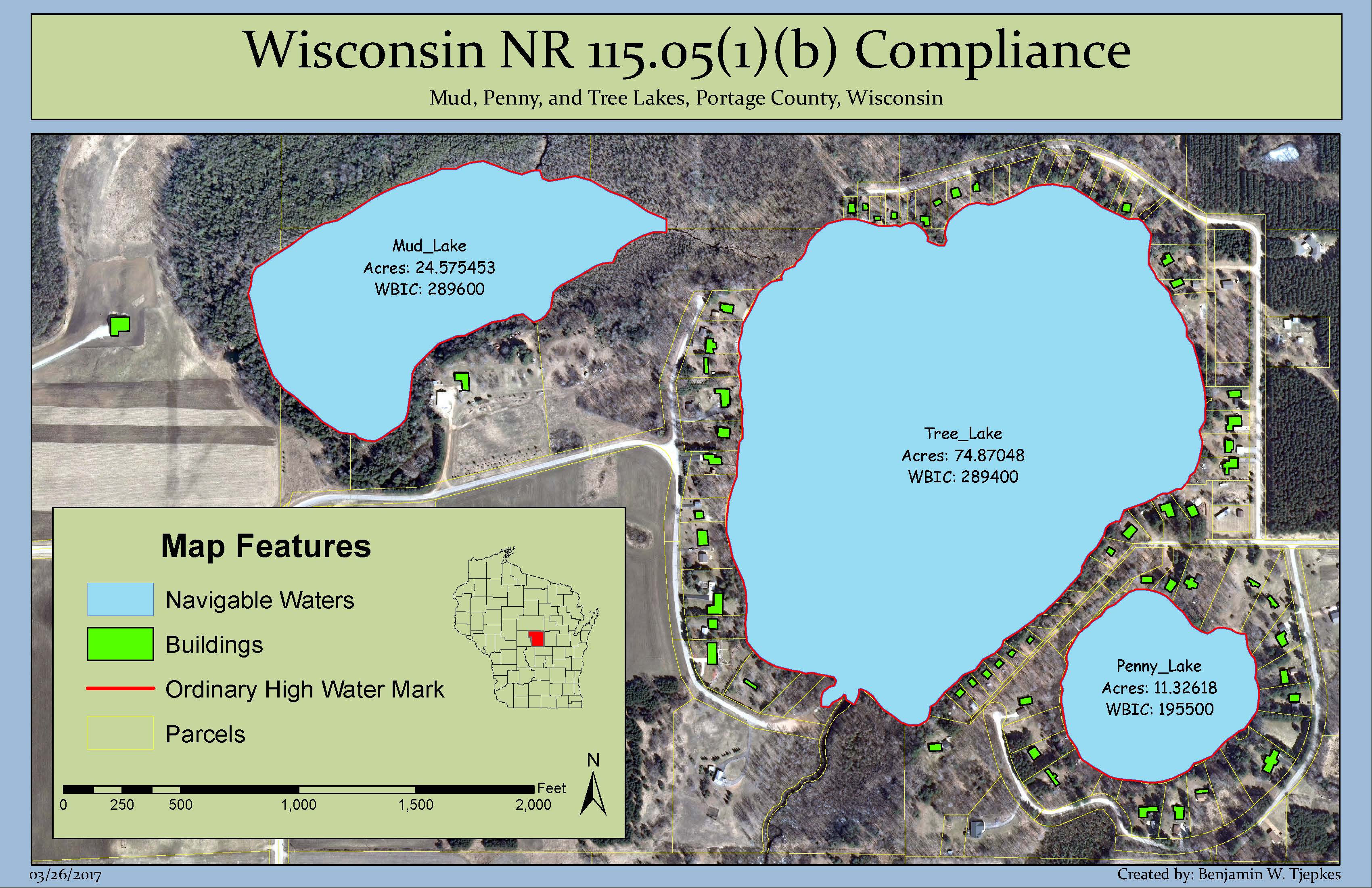
This map and all spatial analysis needed to create it was performed in ArcMap 10.x. All primary structures in each lake-adjacent parcel were outlined using heads-up digitizing techniques. The distance to water was then determined using the Near tool in ArcMap, referencing the ordinary high water mark for compliance.
Final Result