Introduction
Earlier this academic semester, I was able to help develop and host a technical workshop for the wildlife and fisheries graduate student organization on campus. While I have helped with many GIS training sessions in the past, this was my first time taking the lead on development from start to end. I figured this was a perfect opportunity to test the use of a Quarto site that would allow me to have all content in one place during and after the workshop.
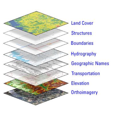
The workshop, which was aptly named GIS for Fisheries and Wildlife Sciences, covered the basics of geographic information systems and several methods of programmatically doing spatial work with ArcGIS Pro, Python, and R.
Logistics & Content
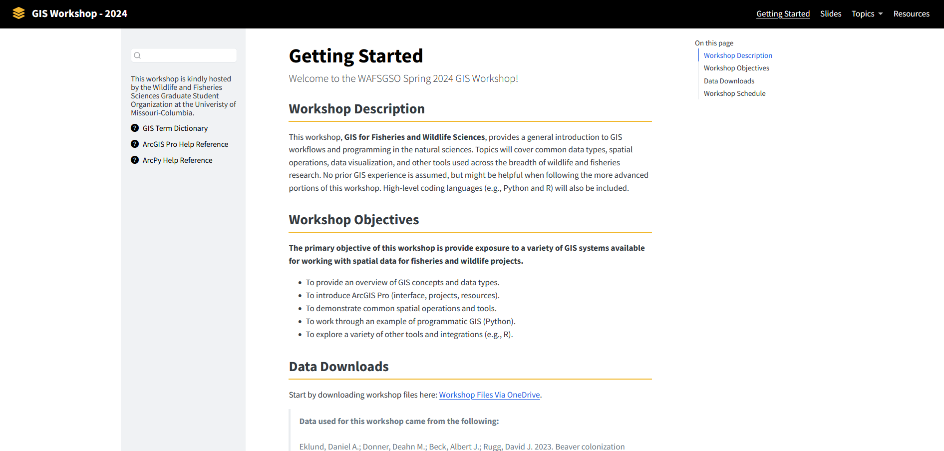
The functioning website can be found here and includes all the required data downloads. The interface (Figure 1) is setup as a general website with multiple pages for slides, topics, and resources.
Final Thoughts
This workshop seemed very well-received and I plan on offering this workshop(s) again.
Citation
@online{tjepkes2024,
  author = {Tjepkes, Benjamin},
  title = {Crafting a {GIS} {Workshop} {Site} {With} {Quarto}},
  date = {2024-04-27},
  url = {https://btjepkes.github.io/posts/crafting-a-technical-workshop-site-with-quarto},
  langid = {en},
  abstract = {This post provides an overview of a recent workshop site I
    made using Quarto and Github Pages, which covered basic and
    intermediate geographic information system skills for wildlife and
    fisheries sciences.}
}