Overview of Challenge
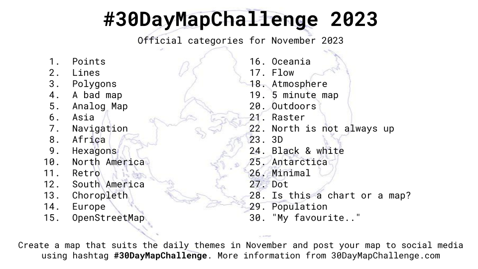
The 30 Day Map Challenge is a community event that encourages map enthusiasts of all levels to create and share a different map each day for 30 consecutive days. Each day of the challenge is associated with a specific theme or prompt, ranging from traditional cartography topics to more unconventional and imaginative ideas. The challenge not only fosters skill development but also builds a sense of community among mapmakers who share their unique perspectives through the maps they create.
My 2023 Contributions
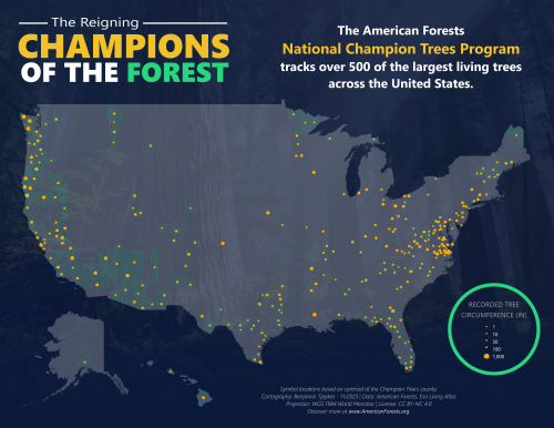
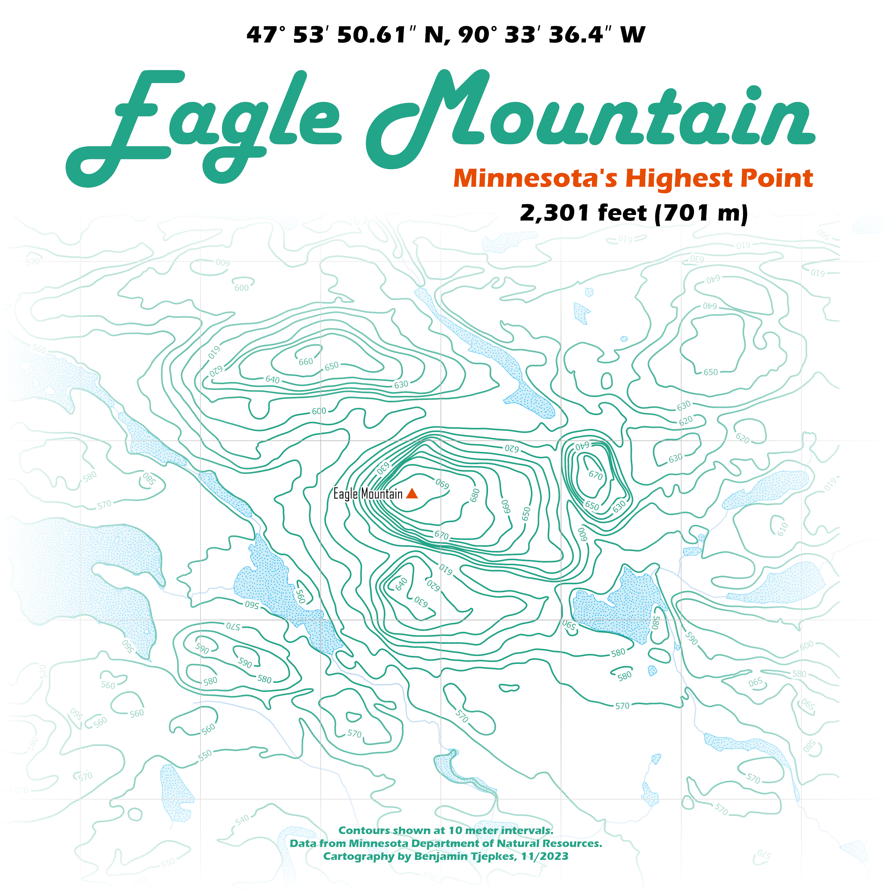
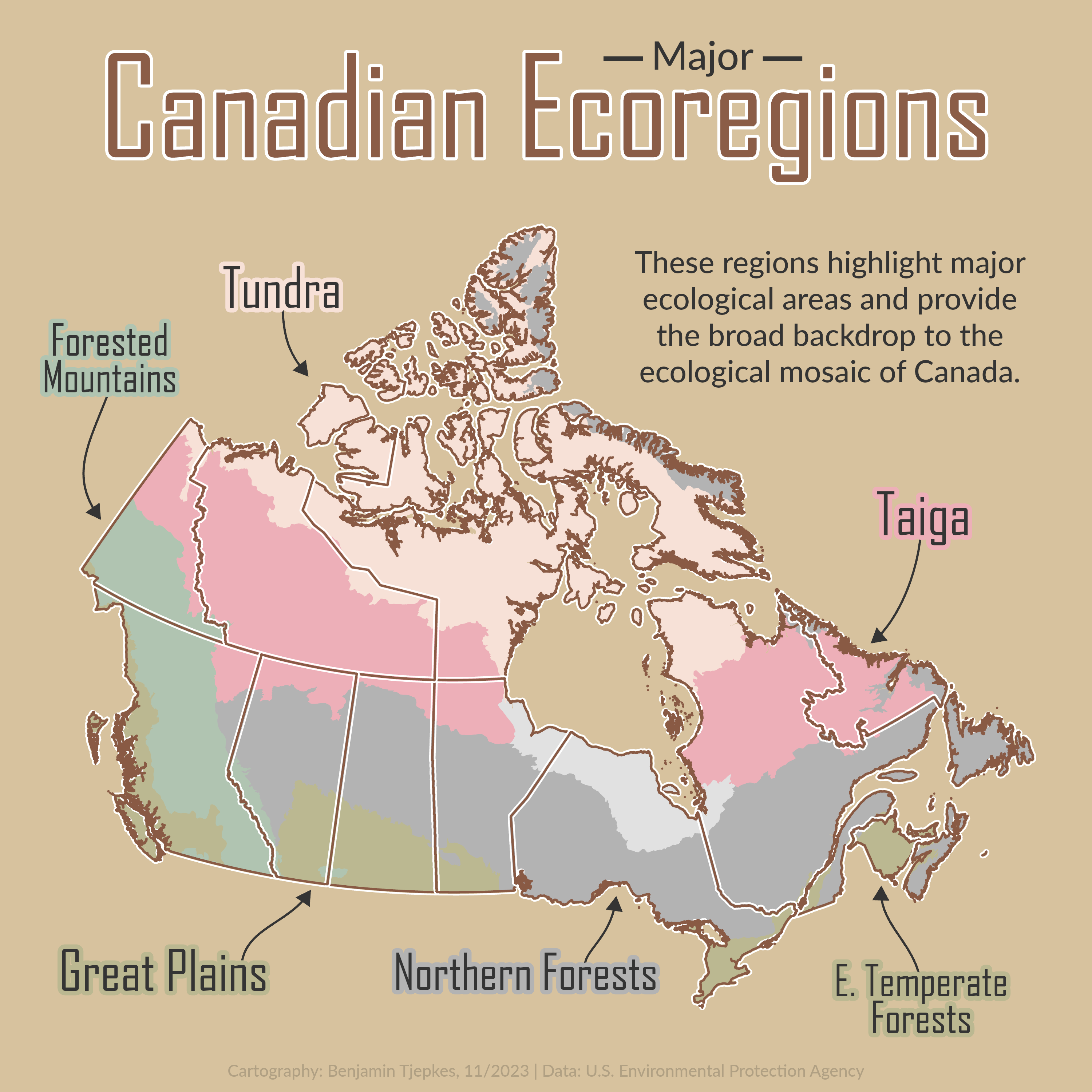
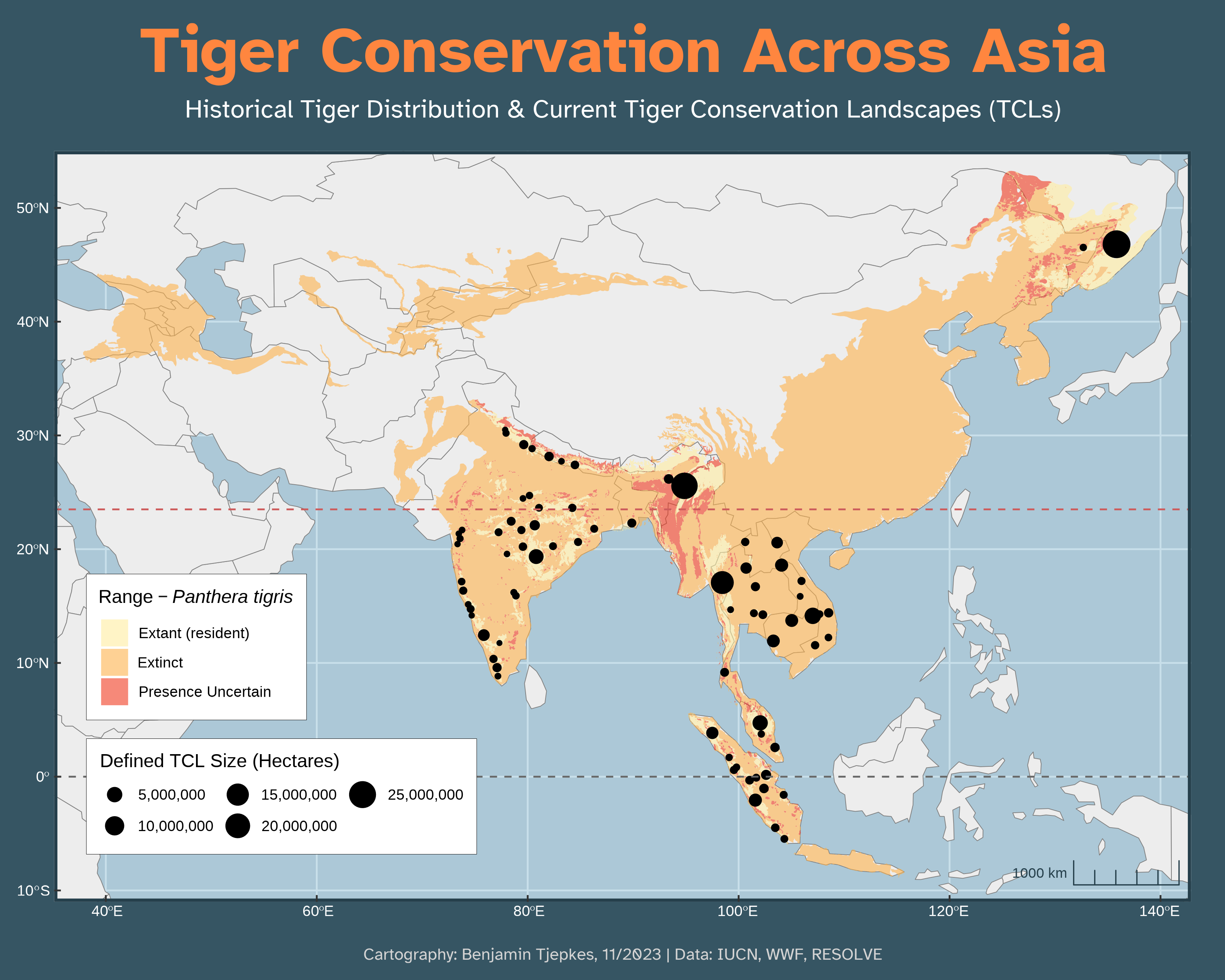
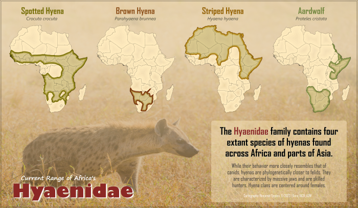
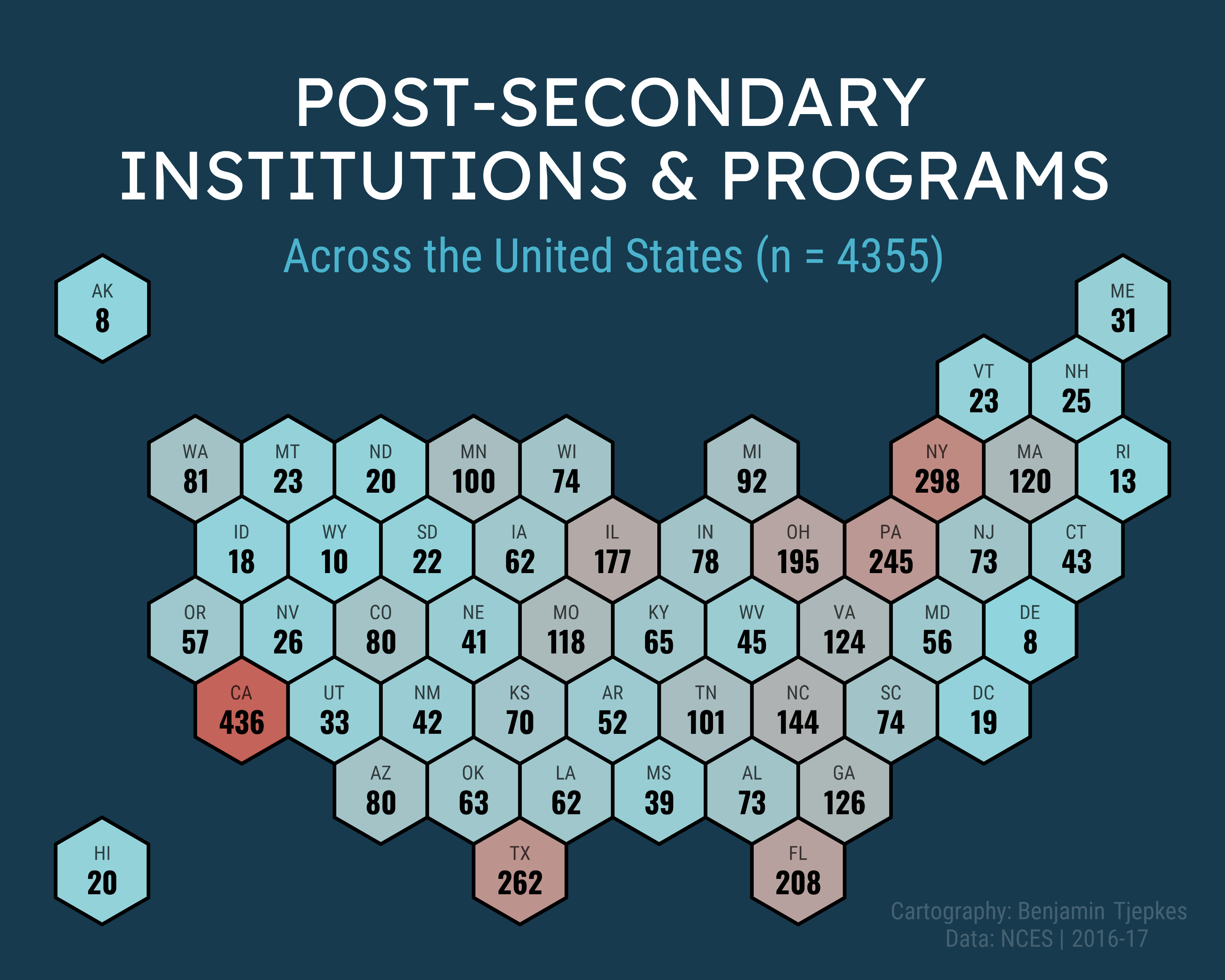
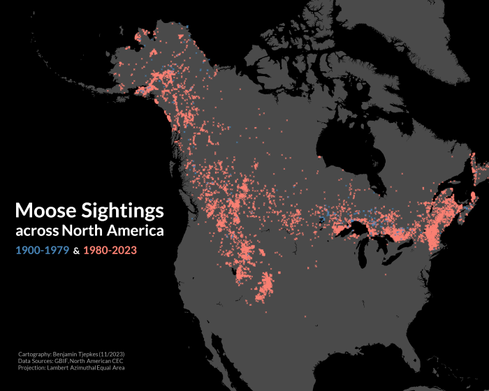
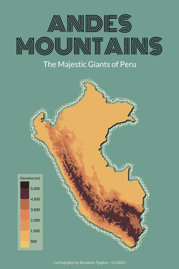
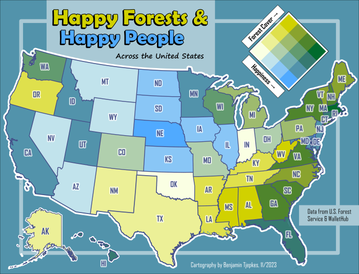
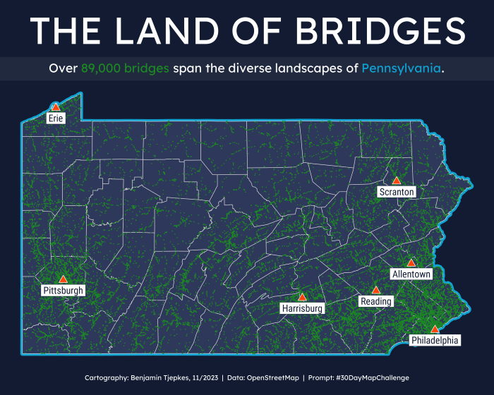
Here are my contributions to the challenge. Feel free to explore the details on each map product by clicking/tapping the map previews below. I was not able to create a map for every day, but this was my first time partaking in this challenge so I am happy with how many I created.
Tools, Data, and Techniques
Here is some general information on the software, data sources, and cartographic techniques I used to create maps for this challenge. See the detailed overviews of each map for an in-depth acknowledgement of these attributes.
Tools – ArcGIS Pro 3.2, R/RStudio using primarily the ggplot, osmdata, rnaturalearth, and sf packages.
Data – OpenStreetMap, Esri Living Atlas, Natural Earth, and the IUCN.
Techniques/Styles – Graduated symbols, choropleth, hexbin, bivariate, polygon overlay with blending, and contour creation from a digital elevation model (DEM).
Citation
@online{tjepkes2023,
  author = {Tjepkes, Benjamin},
  title = {\#30DayMapChallenge - 2023 {Contributions}},
  date = {2023-11-01},
  url = {https://btjepkes.github.io/posts/30-day-map-challenge-2023},
  langid = {en},
  abstract = {This post is a look back at all of my contributions to the
    2023 \#30 Day Map Challenge, a daily social media challenge for the
    cartography community. I outline the tools I used and the data I
    explored along the way.}
}
